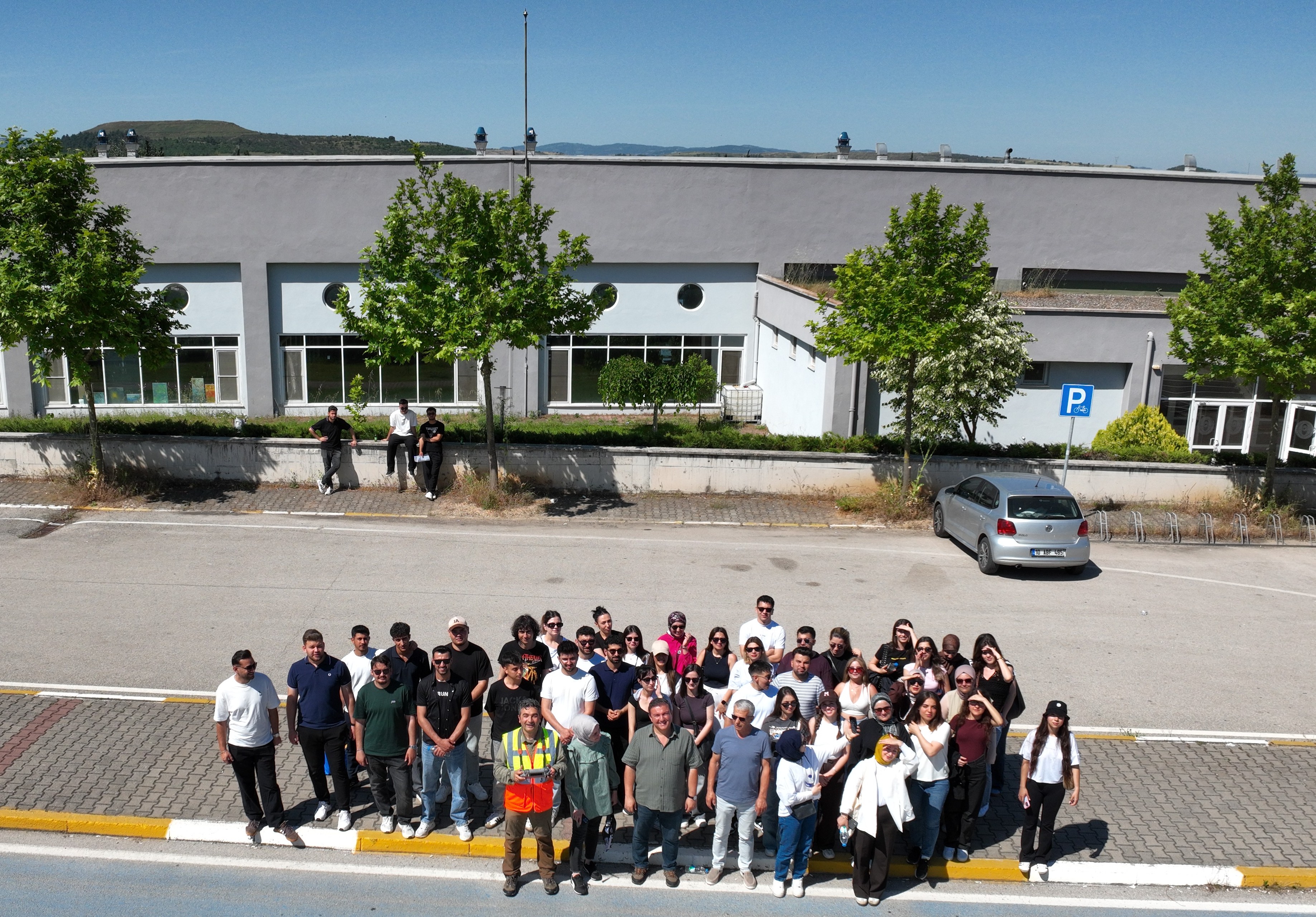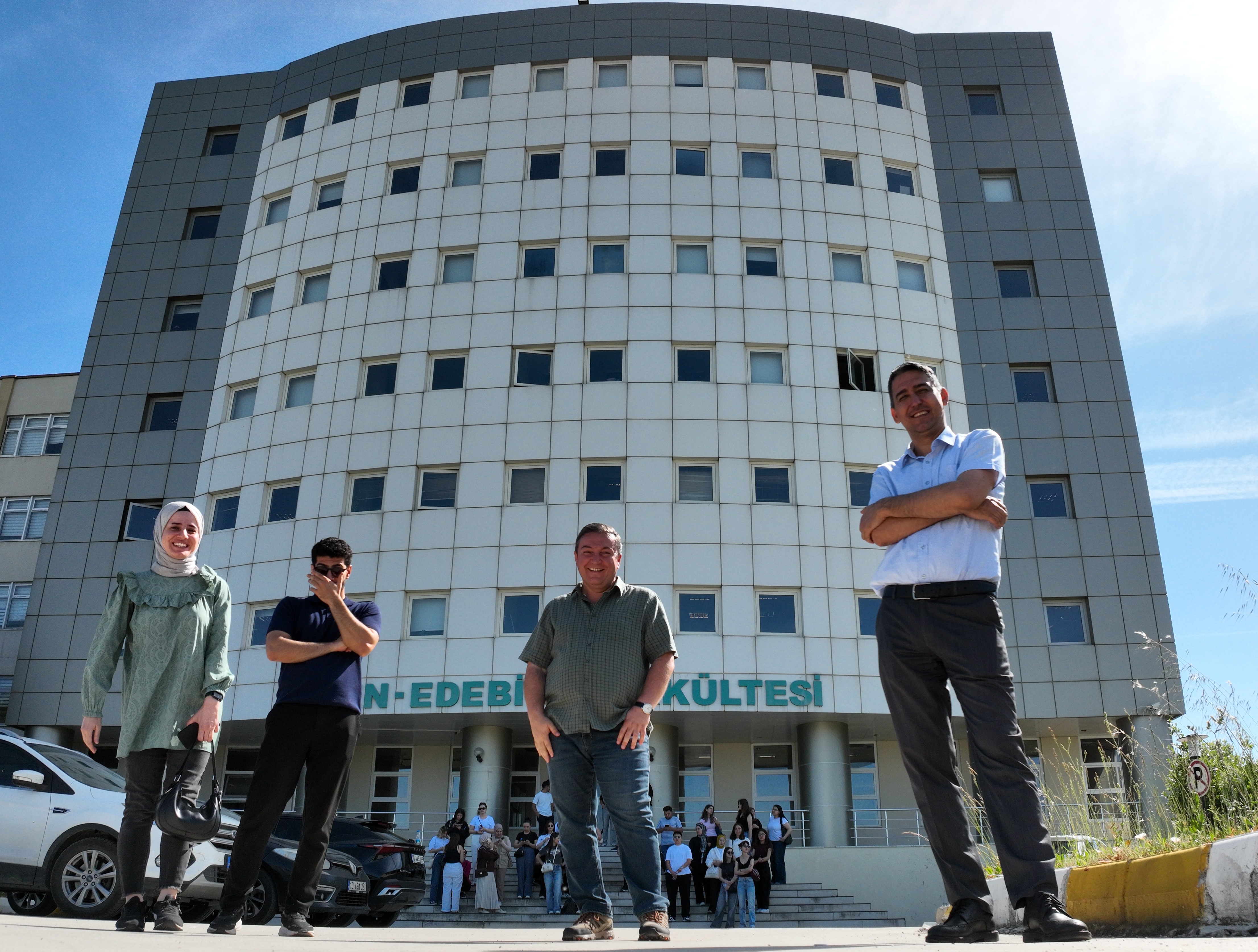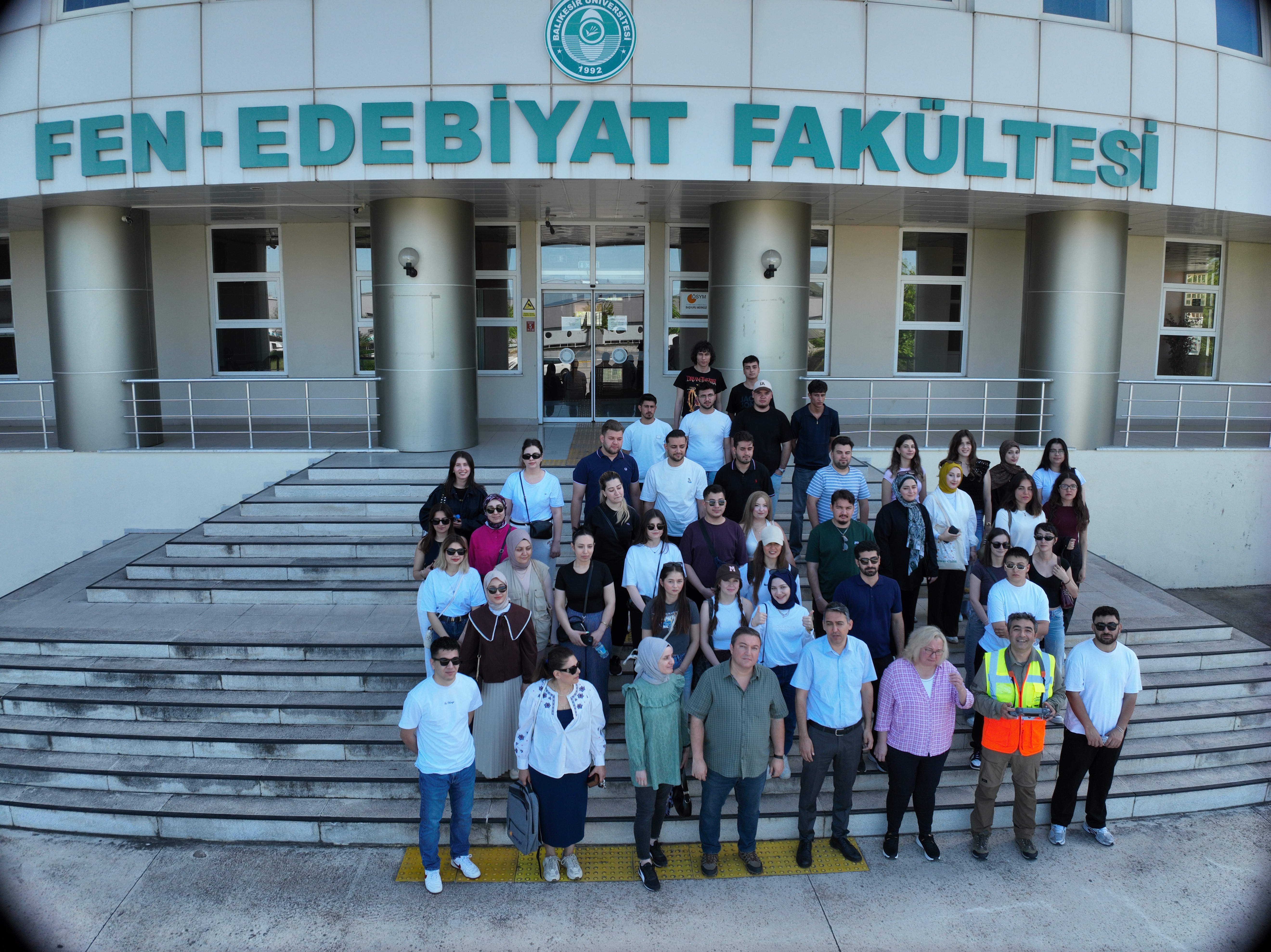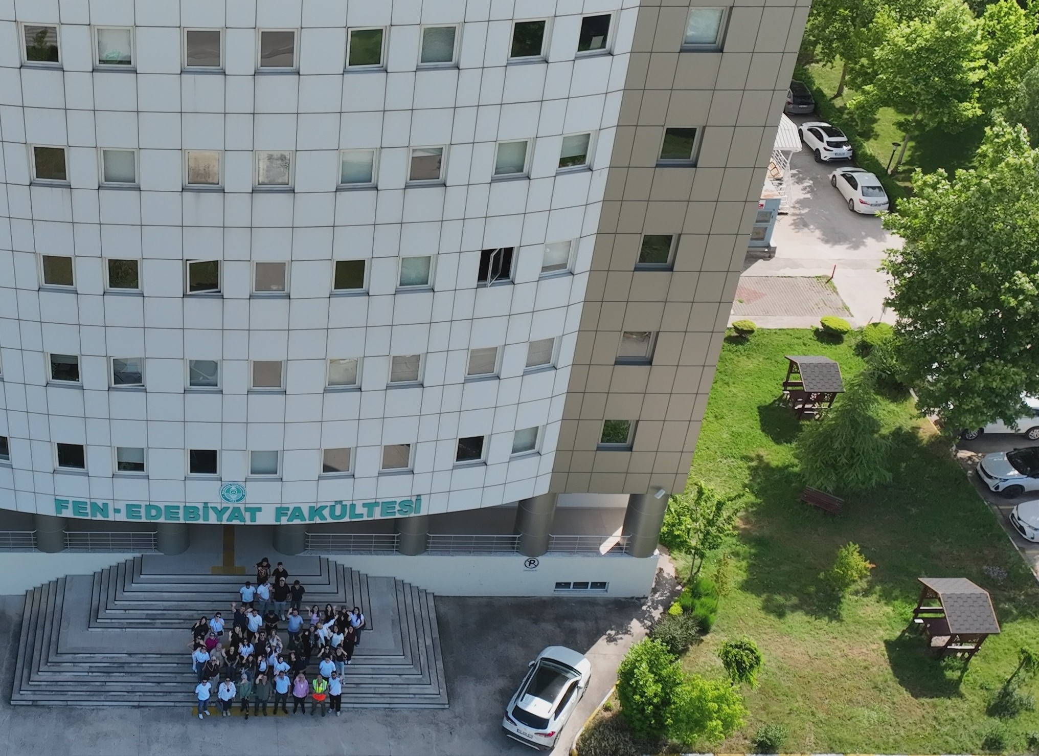
A Drone Wind Blows Through BAUN Campus
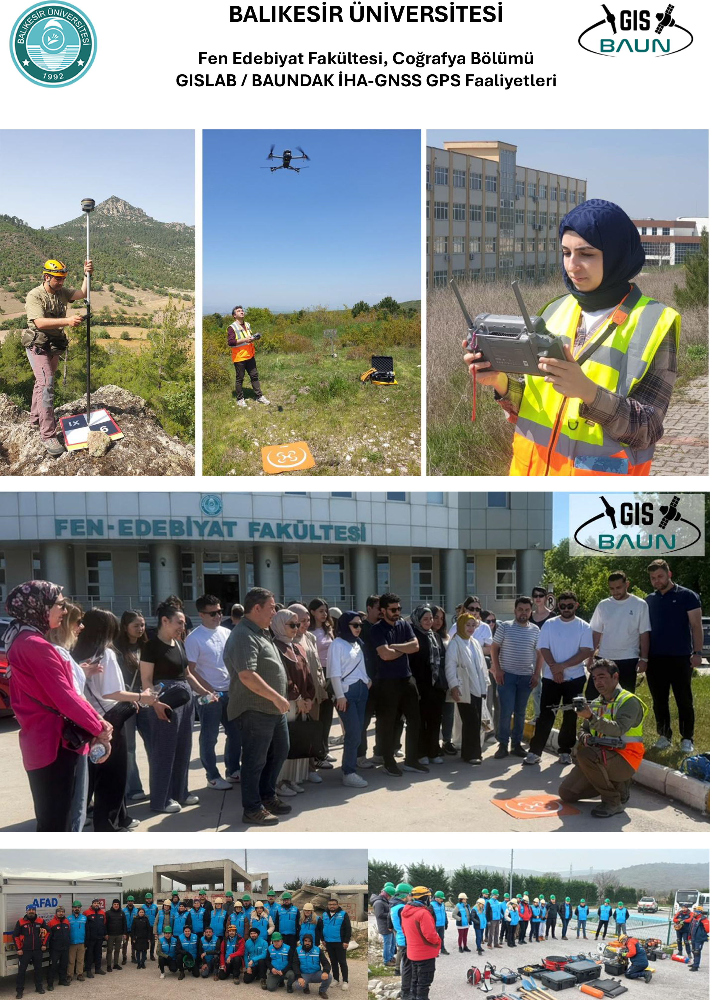
Our university's Faculty of Arts and Sciences, Department of Geography, Geographic Information Systems and UAV Laboratory (BAUN GISLAB) has started training in mapping with UAV photogrammetry.
Unmanned aerial vehicles (UAVs) are one of the most important components and development axes of the new industrial era, referred to as Industry 4.0. Thanks to the miniaturization and affordability of integrated circuits (SoCs), mini-sensors and actuators (MEMS), and high-density battery technologies, civil unmanned aerial vehicle (UAV) technologies have made significant progress in the last 10 years, making inaccessible places accessible, invisible objects visible, and unmeasurable areas measurable.
BAUN Faculty of Arts and Sciences, Department of Geography is updating its educational program with new courses to keep pace with developing technologies and strengthening its applied training laboratory infrastructure. In this context, undergraduate courses on Unmanned Aerial Vehicle (UAV) technology (COG3128 UAV Operation for Geographers, COG3226 Introduction to UAV Photogrammetry) and postgraduate courses (COG6226 Geomorphometric Analysis with UAV Photogrammetry, COG 6227 Digital Twin and Mapping with UAV Photogrammetry) have been opened.
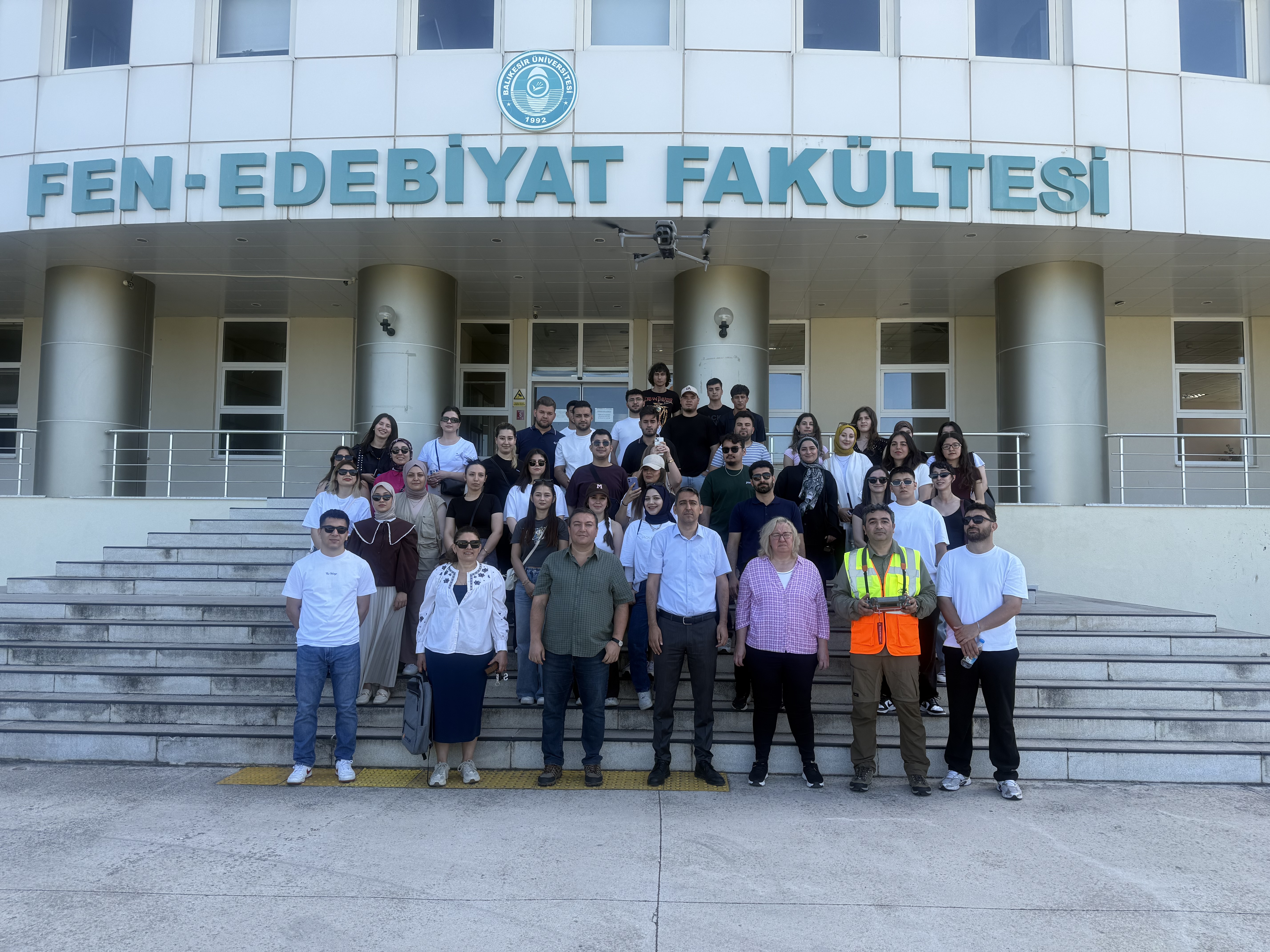
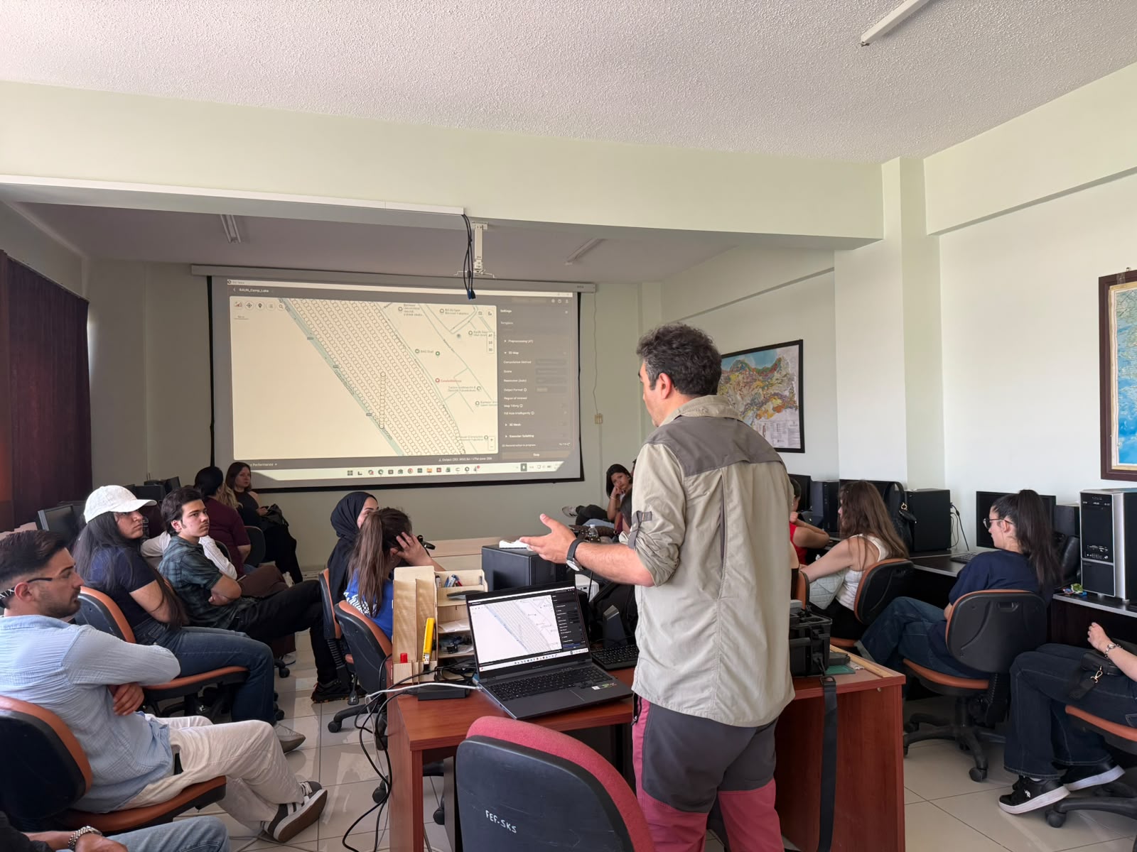
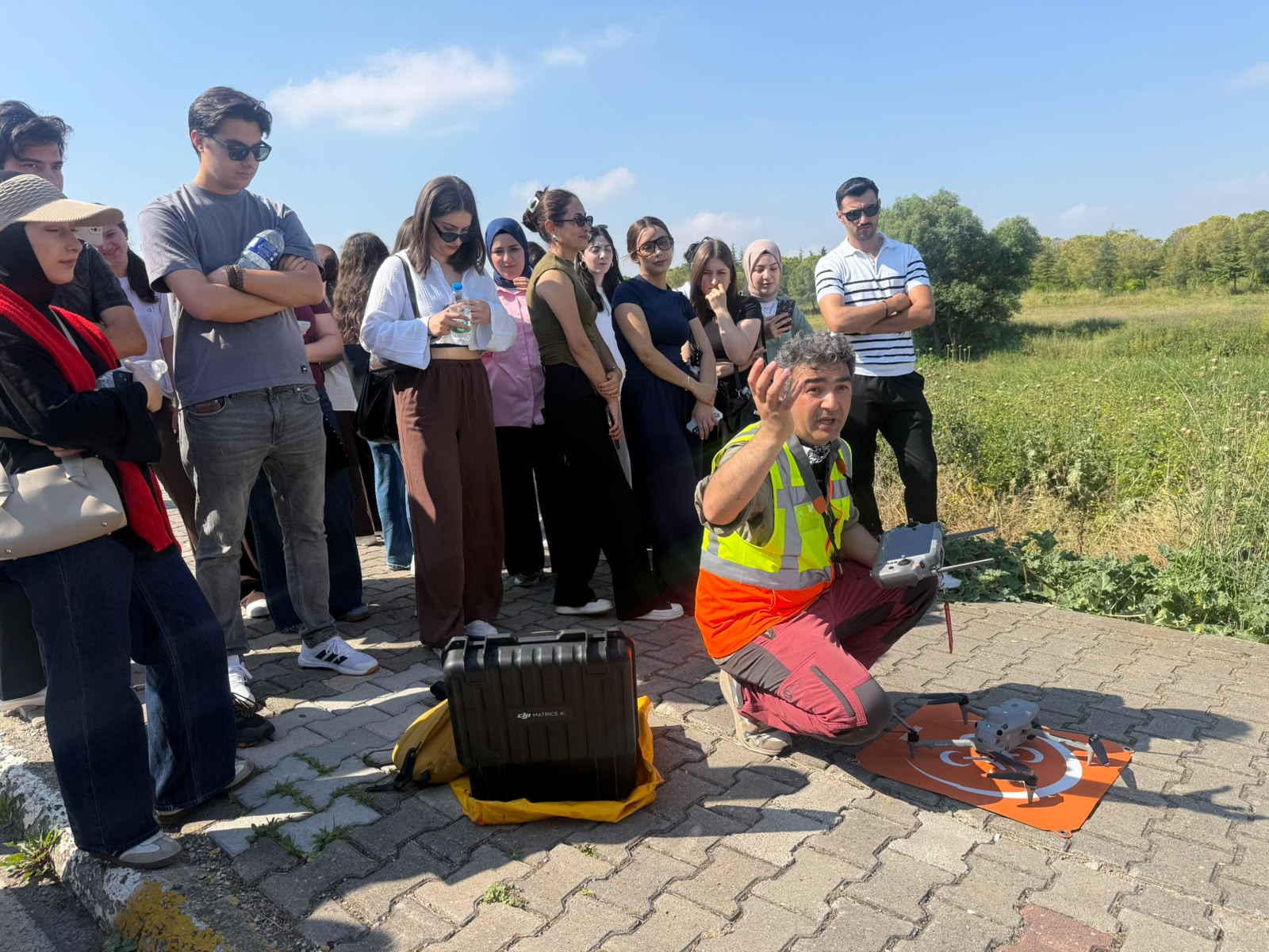
The Department of Geography aims to prepare its students for working life as more equipped, strong, and competitive individuals through increasing laboratory courses and out-of-classroom field training applications. In line with this goal, on June 10, 2026, the Department of Geography conducted a joint UAV application training on campus by combining the Remote Sensing-Computerized Cartography-Introduction to Geographic Information Systems and Field Applications courses.
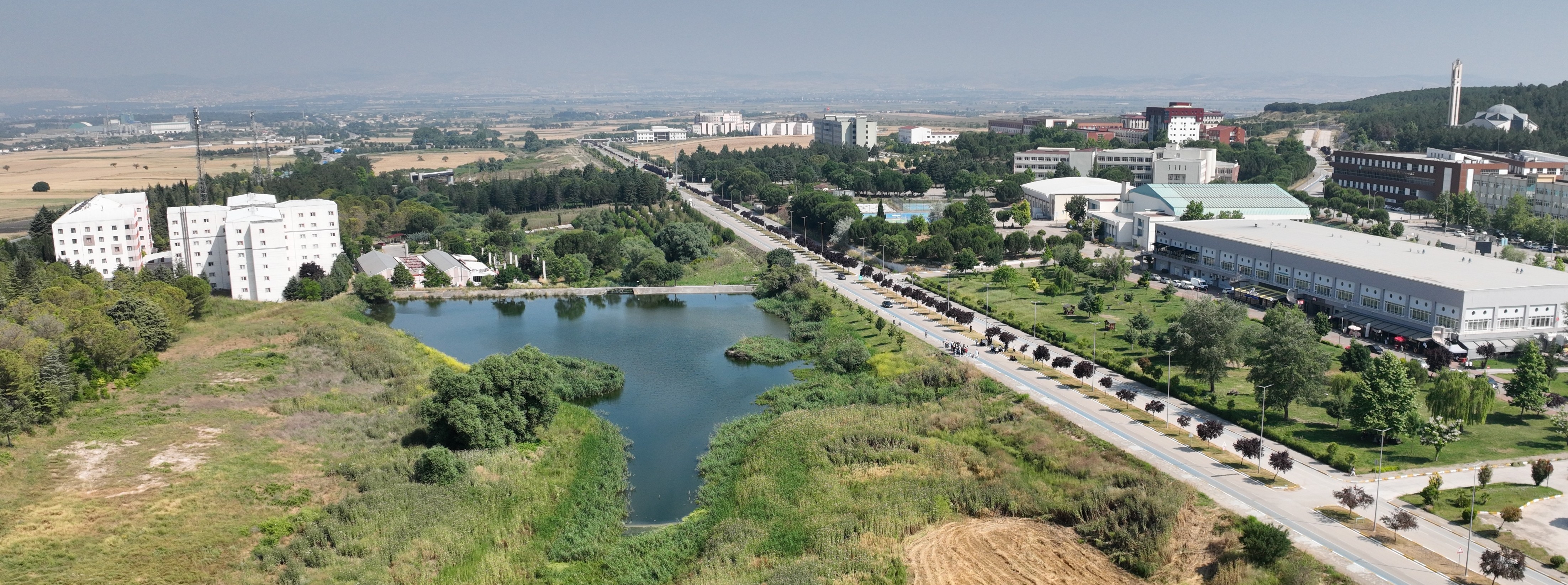
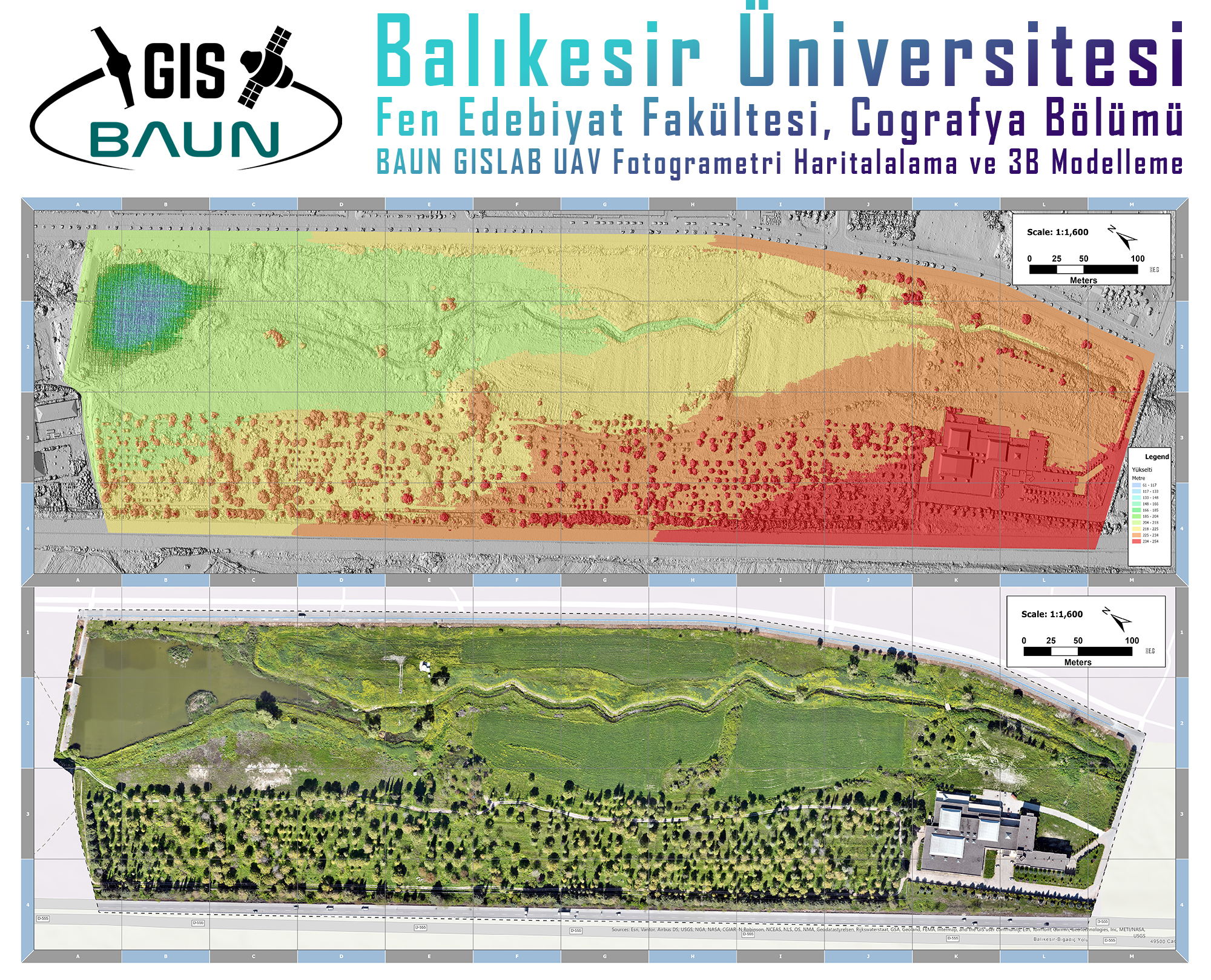
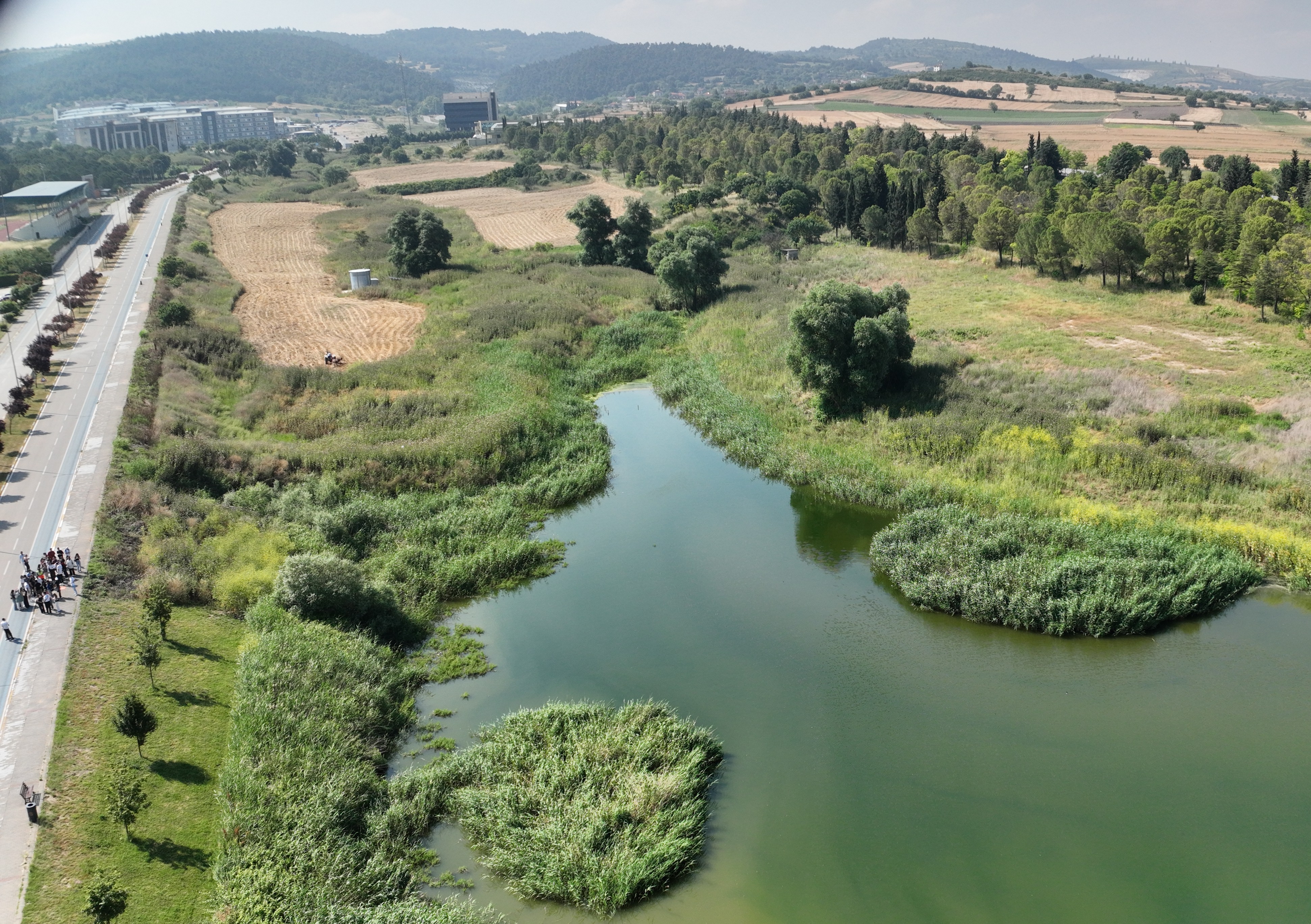
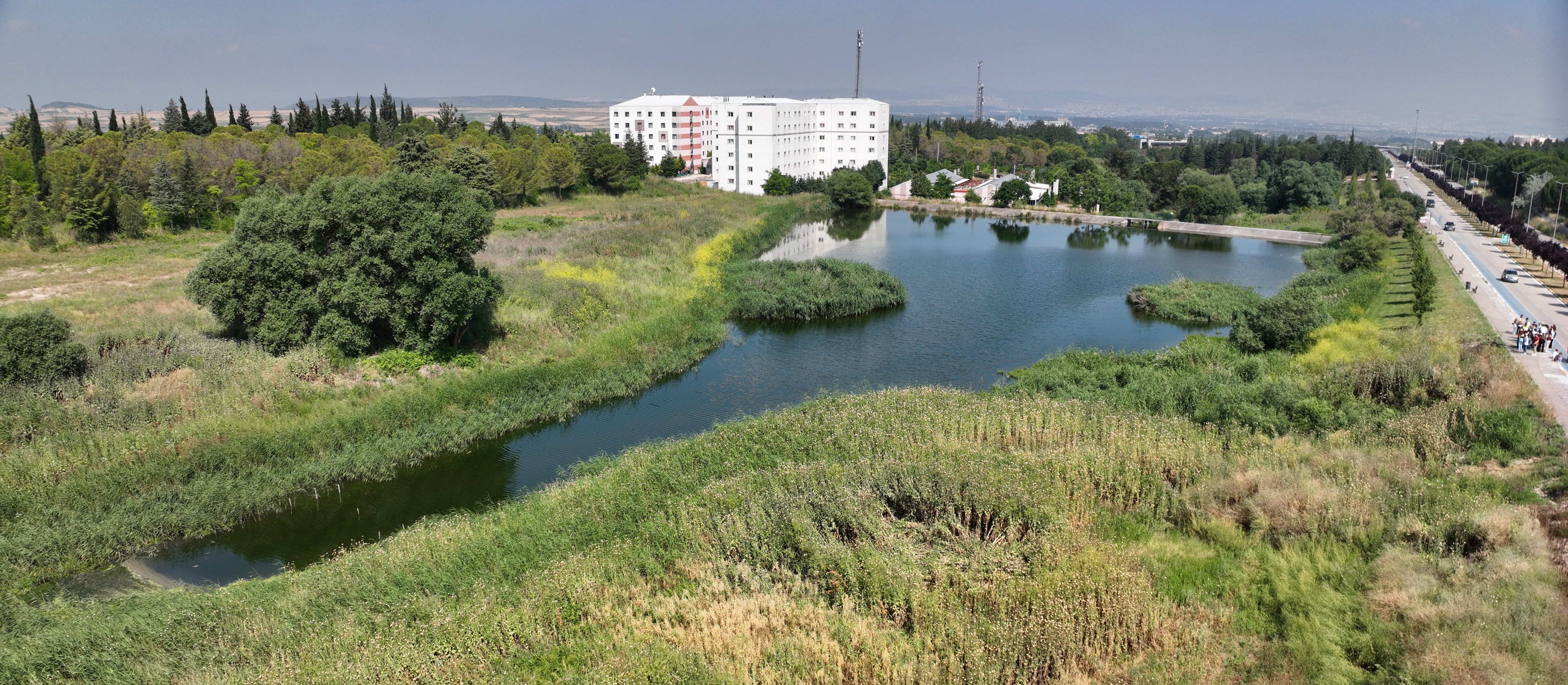
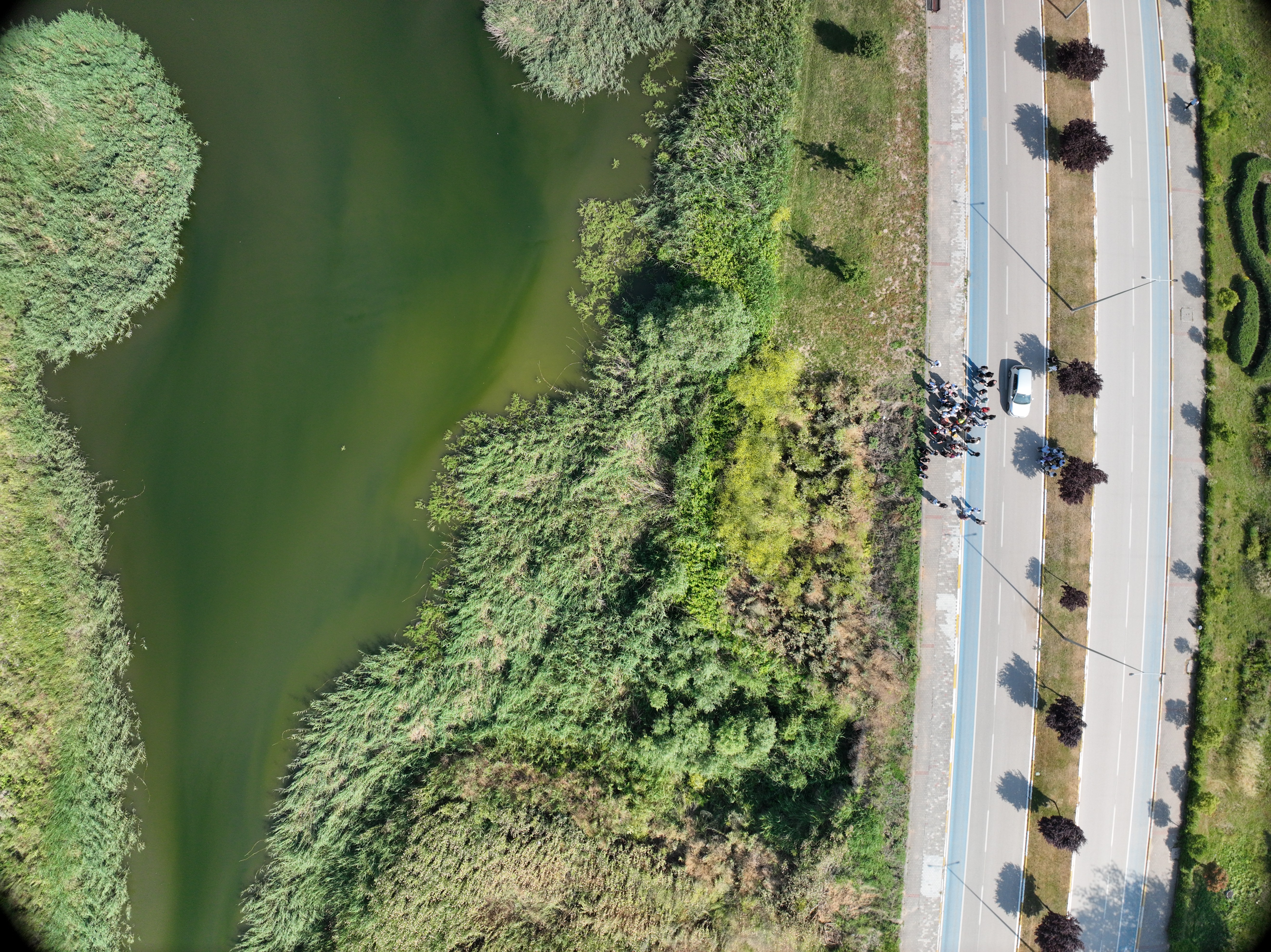
The Dean of the Faculty of Arts and Sciences, Prof. Dr. Halil İbrahim ŞAHİN, and the Vice Dean, Assoc. Prof. Dr. [Name], were present. The event, which began with the participation of Serap SUNAY and the Head of the Geography Department, Prof. Dr. Abdullah KÖSE, included a planned flight over the BAUN Campus pond and Botanical Garden area. Subsequently, the raw data obtained was processed in BAUN GISLAB to produce basic Geographic Information Systems layers such as Orthophoto, DEM, DSM, DTM, and Contour.